
English version is available here.
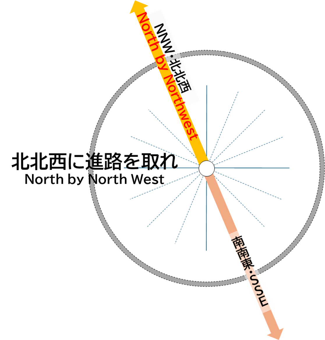
南南東
この東南東の方角には、大凪山(2,079m)、唐沢山(1,575m)や雨引山(1,371m)を越えて、松本盆地(安曇野市や松本市)の西側を通り、松本空港、塩尻市街地が位置します。
さらに南南東に進むと、南アルプス(赤石山脈)の峰々を通り、身延山地を越えて静岡市清水で駿河湾に至ります。その先は、伊豆半島の石郎崎沖合を通り八丈島など伊豆諸島に至っています。
SSE
In the east-southeast (ESE) direction, beyond Mt. Onagiyama (2,079 meters), Mt. Karasawayama (1,575 meters), and Mt. Abikiyama (1,371 meters), the route passes along the western side of the Matsumoto Basin, which includes Azumino City and Matsumoto City, leading to Matsumoto Airport and the urban area of Shiojiri City.
Further to the south-southeast (SSE), the route continues through the peaks of the Southern Alps (Akaishi Mountains) and over the Minobu Mountain Range, reaching Suruga Bay at Shimizu in Shizuoka City. Beyond that, it passes offshore of Cape Ishirozaki on the Izu Peninsula, extending to Hachijo Island and other islands in the Izu Archipelago.