
English version is available here.
西南西
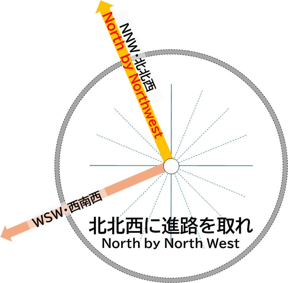
この西南西(WSW)の方角は高瀬川上流の方向で、高瀬ダムが位置しています。さらにその延長上には、白山(2,702m)を越え、福井市、若狭湾、中国山地、山口市、玄界灘などが位置します。
高瀬ダムは1978年に完成し、黒部ダムに次ぐ日本第二位の高さで、ロックフィルダムとしては高さ176m(日本一)を誇る国内でも最大級のダムです。エメラルドグリーンの水を湛え「ダム湖百選」に選ばれています。
この方角にはまた、富山湾に注ぐ庄川水系や神通川水系(岐阜県では宮川など)の上流域が広がり、下小鳥ダム(提高119m、飛騨市)、御母衣ダム(提高131m、白川村)、鳩谷ダム(63.2m、白川村)、大白川ダム(提高95m、白川村)などのダムが多く位置しています。
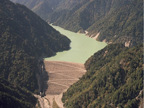
(写真:㈱東京電力リニューアブルパワーHPより)
WSW
In the west-southwest (WSW) direction lies the upper reaches of the Takase River, where the Takase Dam is located. Continuing further along this line, beyond Mt. Hakusan (2,702 meters), are Fukui City, Wakasa Bay, the Chugoku Mountains, Yamaguchi City, and the Genkai Sea.
The Takase Dam, completed in 1978, stands as the second tallest in Japan after the Kurobe Dam, and is the tallest rock-fill dam in the country, with a height of 176 meters. It is one of Japan’s largest dams, renowned for its emerald-green waters, and is listed among the “100 Selected Dam Lakes.”
In this direction, there are also the upper reaches of the Sho River system and the Jinzu River system, which flow into Toyama Bay, as well as several dams, including Shimokotori Dam (119 meters high, Hida City), Miboro Dam (131 meters high, Shirakawa Village), Hatogaya Dam (63.2 meters high, Shirakawa Village), and Oshirakawa Dam (95 meters high, Shirakawa Village).
(写真:㈱東京電力リニューアブルパワーHPより)