English version is available here.
西

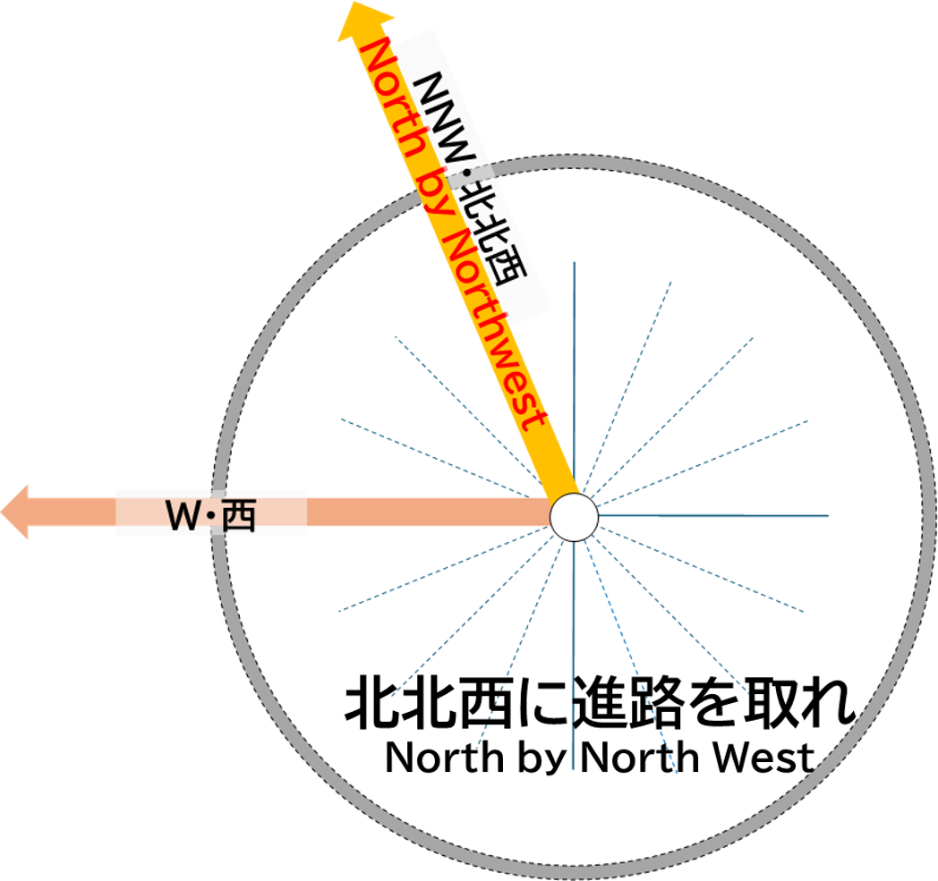
この西(W)の方角には、北アルプス(飛騨山脈)の2,600m級の南沢岳、烏帽子岳、不動岳を越えて、富山市の南部の黒部川の上流域、常願寺川の有峰ダムや祐延ダム、神通川の神一ダムなどの岐阜県との県境付近を通り、庄川の小牧ダム・祖山ダム、砺波平野(南砺市)を経て、石川県の犀川中流(金沢市)や手取川扇状地が広がる金沢平野(野々市市、白山市)が位置し、日本海へと繋がっています。
富山湾に注ぐ一級河川常願寺川水系の有峰ダムは提高140mの重力式コンクリートダムで、北陸電力の発電用ダムで、北アルプス・立山連峰に源を発しています。
W

To the west (W), beyond the 2,600-meter-class peaks of Mt. Minamisawadake, Mt. Eboshidake, and Mt. Fudodake in the Northern Alps (Hida Mountains), lie the upper reaches of the Kurobe River in southern Toyama City, and the Arimine Dam and Yunoe Dam on the Joganji River, as well as the Kamiichi Dam on the Jinzu River near the Gifu Prefecture border. Continuing further, there are the Komaki Dam and Soyama Dam on the Sho River, leading to the Tonami Plain (Nanto City), and the Kanazawa Plain (Nonoichi City, Hakusan City) where the middle reaches of the Saigawa River in Kanazawa City and the Tedori River Alluvial Fan spread out, eventually reaching the Sea of Japan.
The Arimine Dam, part of the Joganji River system that flows into Toyama Bay, is a gravity concrete dam with a height of 140 meters. It is used for hydroelectric power generation by Hokuriku Electric Power Company and has its source in the Northern Alps, specifically the Tateyama Mountain Range.
