English version is available here.
東

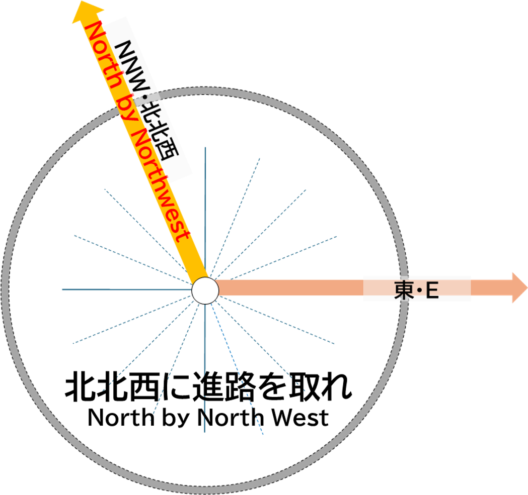
この東の方角には、大町市街地、大町山岳博物館、筑摩山地の聖山(1447.2m)や聖山高原を越え、長野県千曲市の戸倉・上山田温泉、千曲川が位置します。
さらに東に進むと、菅平高原(上田市)、鳥居峠を越えて群馬県嬬恋村の浅間山北麓や田代湖、榛名山、渋川市、赤城山麓を経て、栃木県宇都宮市、茨城県日立市や東海村で太平洋沿岸に至ります。
E

In the eastern direction lie the urban area of Omachi City, the Omachi Alpine Museum, and Mt. Hijiri (1,447.2 meters) in the Chikuma Mountains, as well as the Hijiri Highland. Beyond these, you will find the Togura Kamiyamada Hot Springs and the Chikuma River in Chikuma City, Nagano Prefecture.
Further to the east, the route passes through the Sugadaira Highland (Ueda City) and over Torii Pass, reaching the northern foothills of Mt. Asama in Tsumagoi Village, Gunma Prefecture, and Lake Tashiro. Continuing through the Haruna Mountains and Shibukawa City, the route leads to the foothills of Mt. Akagi, then to Utsunomiya City in Tochigi Prefecture, and finally to Hitachi City and Tokai Village in Ibaraki Prefecture, reaching the Pacific coast.
