
English version is available here.
南
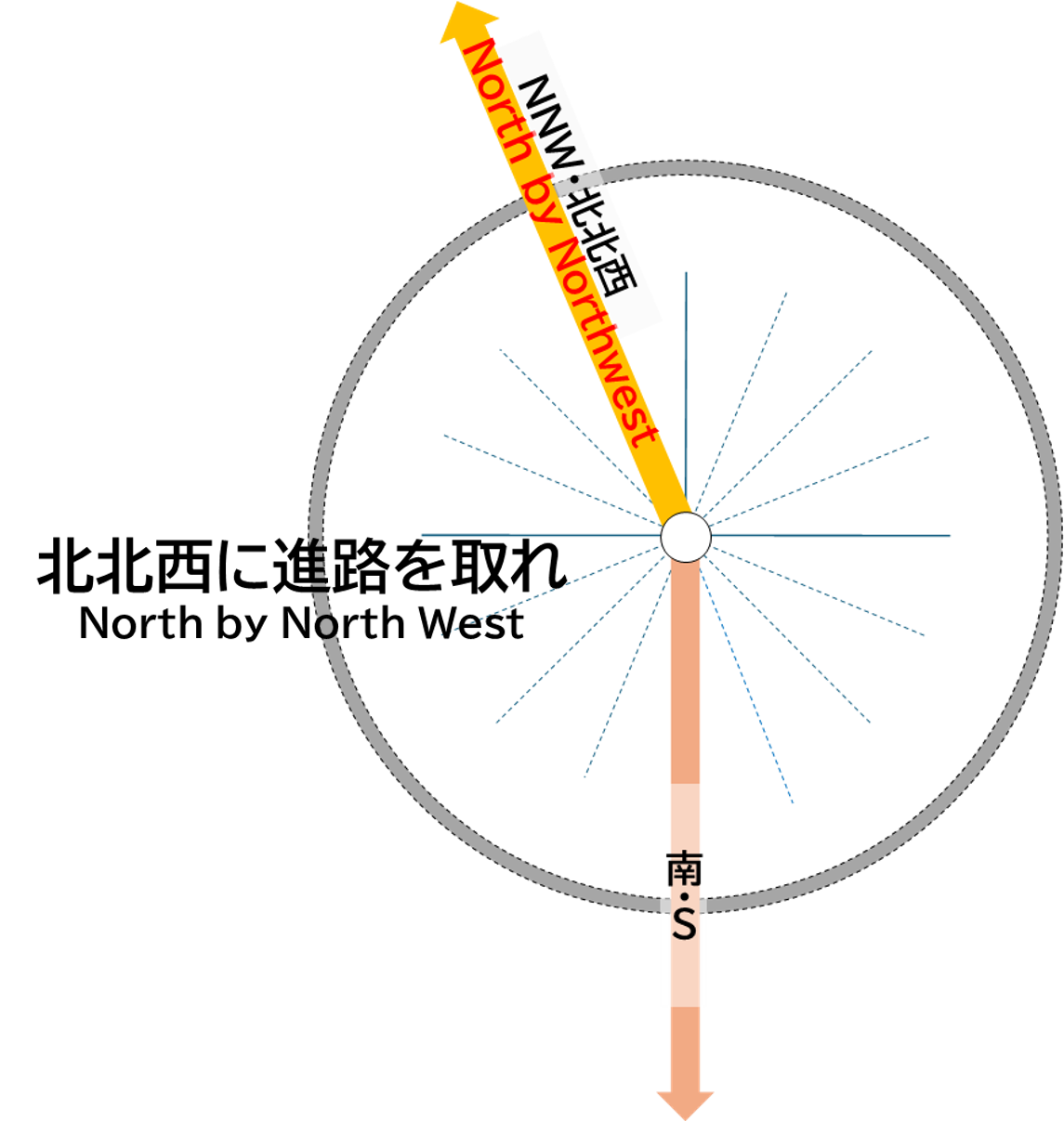
この南の方角には、餓鬼岳(2,647m)、燕岳(2,763m)、大天井岳(2,922m)、常念岳(2,857m)などの峰々を経て、乗鞍岳(3,026m)などからの梓川上流域の水を集める梓湖(森川渡ダム)が位置します。
更に南に進むと、木曽山脈や飯田市を経て、静岡県の浜松市や浜名湖が位置し、天竜川が太平洋に注いでいます。
S
To the south, beyond the peaks of Mt. Gakidake (2,647 meters), Mt. Tsubakuro (2,763 meters), Mt. Otenshodake (2,922 meters), and Mt. Jonendake (2,857 meters), lies Azusa Lake (created by the Morikawatoge Dam), which collects water from the upper reaches of the Azusa River flowing from Mt. Norikura (3,026 meters).
Further to the south, passing through the Kiso Mountains and Iida City, you will find Hamamatsu City and Lake Hamana in Shizuoka Prefecture, where the Tenryu River flows into the Pacific Ocean.