
English version is available here.
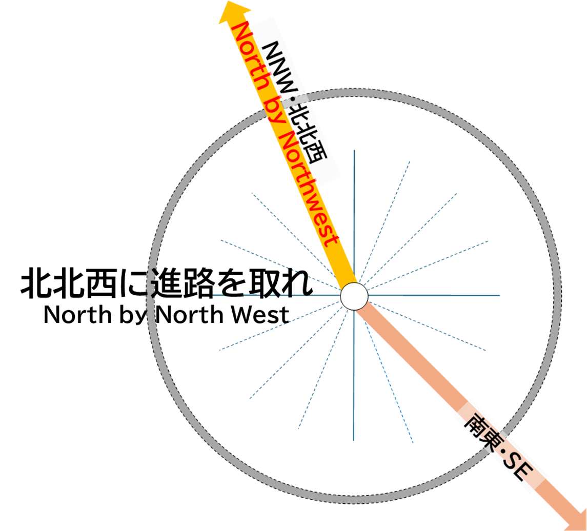
南東
この東の方角には、松川村、池田町、安曇野市明科の高瀬川と犀川の合流地が位置します。
さらに南東に進むと、霧ヶ峰・白樺湖・蓼科山(2,531m)、八ヶ岳(赤岳2,899m)を越えて、山梨県北杜市、山梨市、甲州市、都留市や神奈川県秦野市、平塚市、大磯町に至り、湘南海岸で相模湾に面しています。その先は、相模灘を越えて房総半島の野島埼沖合を通り、太平洋に至ります。
SE
In the eastern direction lies the confluence of the Takase River and Sai River, located in Matsukawa Village, Ikeda Town, and Akashina in Azumino City.
Further to the southeast, the route passes over Kirigamine, Lake Shirakaba, Mt. Tateshina (2,531 meters), and the Yatsugatake Mountains (with Mt. Akadake at 2,899 meters), leading to Hokuto City, Yamanashi City, Koshu City, and Tsuru City in Yamanashi Prefecture, as well as Hadano City, Hiratsuka City, and Oiso Town in Kanagawa Prefecture, eventually reaching the Shonan Coast along Sagami Bay. Beyond that, it extends across the Sagami Sea, past Cape Nojimazaki on the Boso Peninsula, and into the Pacific Ocean.