
English version is available here.
南南西
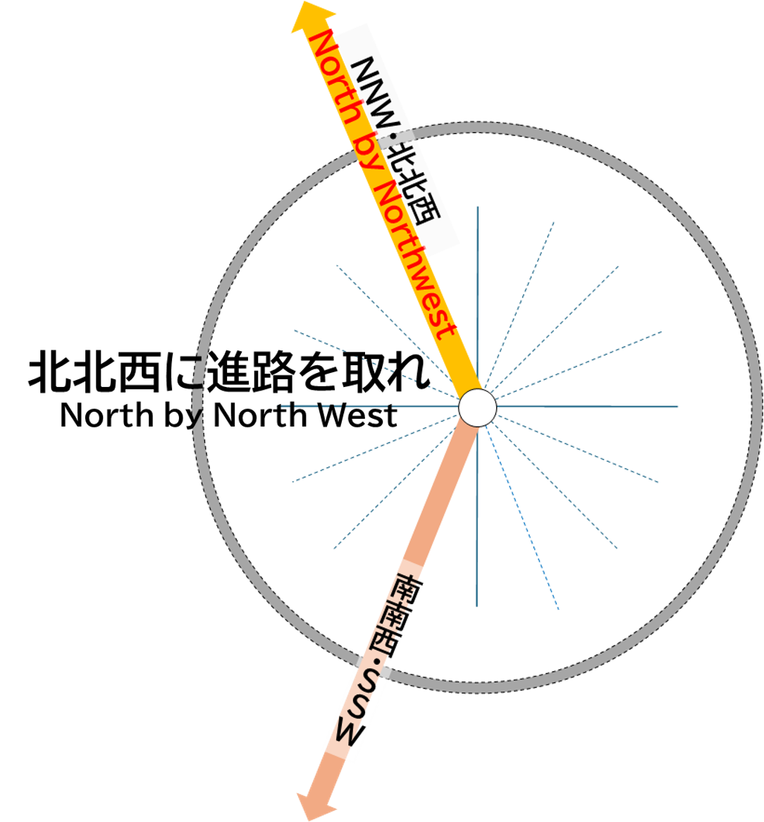
この南南西(SSW)の方角には高瀬川の上流域、北アルプス(飛騨山脈)の槍ヶ岳(3,180m)を越えて、長野県と岐阜県の県境に位置する穂高連峰の北西側、富山湾に注ぐ神通川水系の最上流部を通っています。
また、伊勢湾(太平洋)に注ぐ木曽川水系の飛騨川、多治見市を経て、愛知県の濃尾平野東部丘陵地帯(名古屋市など)や知多半島、そして伊勢湾、三重県の伊勢平野南部(伊勢市、松坂市など)、志摩半島を経て、熊野灘(太平洋)沿岸に至ります。
SSW
In the south-southwest (SSW) direction, beyond the upper reaches of the Takase River and Mt. Yari (3,180 meters) in the Northern Alps (Hida Mountains), lies the northwestern side of the Hotaka Mountain Range, located on the border between Nagano and Gifu Prefectures. This area leads to the uppermost reaches of the Jinzu River system, which flows into Toyama Bay.
Further along, the Hida River, part of the Kiso River system that flows into Ise Bay (Pacific Ocean), passes through Tajimi City and continues into the eastern hill areas of the Nobi Plain in Aichi Prefecture (including Nagoya City), the Chita Peninsula, Ise Bay, and the southern part of the Ise Plain in Mie Prefecture (including Ise City and Matsusaka City), extending through the Shima Peninsula and reaching the coast of Kumano-nada (Pacific Ocean).