
English version is available here.
南西
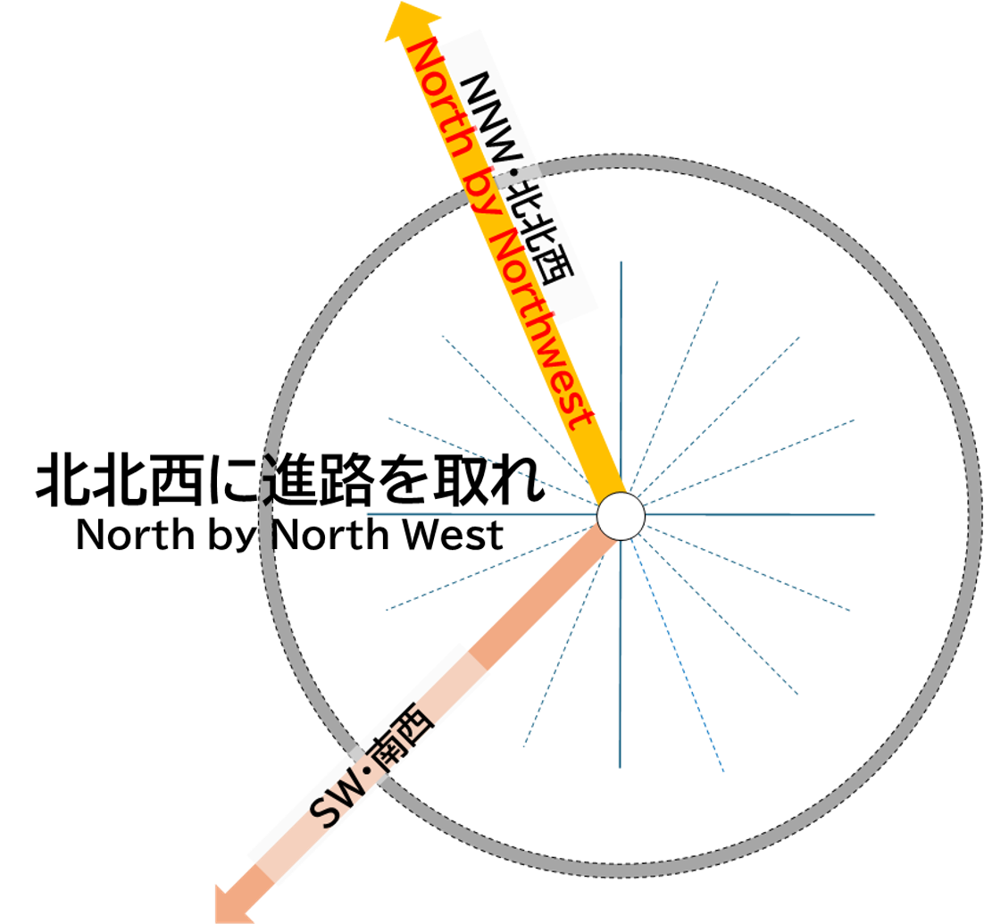
この南西(SW)の方角には北アルプス(飛騨山脈)の野口五郎岳(2,924m)や三俣蓮華岳(2,841m)を越えて、岐阜県の神通川(日本海に注ぐ)の上流域の山々や高山盆地、高山市街を通り、伊勢湾(太平洋)に注ぐ長良川や揖斐川の上流が位置します。
また、伊吹山(1,377m)を越え、滋賀県彦根市やはじめ、滋賀県の米原市、彦根市、大津市の近江盆地、京都府の宇治市など京都盆地の南部、大阪市などの大阪平野、大阪湾、徳島県などが位置しています。
SW
In the southwest (SW) direction, beyond Mt. Noguchigorodake (2,924 meters) and Mt. Mitsumatarenge-dake (2,841 meters) in the Northern Alps (Hida Mountains), lie the upper reaches of the Jinzu River, which flows into the Sea of Japan, as well as the mountains surrounding the Takayama Basin and the urban area of Takayama City in Gifu Prefecture. Further along are the upper reaches of the Nagara and Ibi Rivers, which flow into Ise Bay (Pacific Ocean).
Beyond Mt. Ibuki (1,377 meters), you will find Hikone City and other cities in Shiga Prefecture such as Maibara City and Otsu City, which are located in the Omi Basin, as well as Uji City in the southern part of the Kyoto Basin, the Osaka Plain including Osaka City, Osaka Bay, and areas like Tokushima Prefecture.