
English version is available here.
西北西
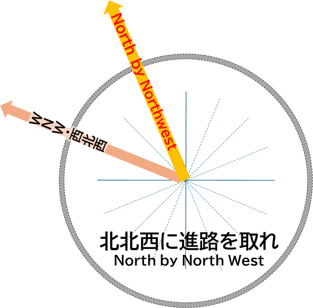
この西北西(WNW)の方角には、飛騨山脈(北アルプス)の不動岳(2,595.2m)から船窪岳の2,300~2,400mの峰々を越え、黒部湖を経て、鳶岳や鷲岳、五色ケ原、立山西麓の弥陀ヶ原、黒部川扇状地を通り、富山市街地、高岡市街地が位置しています。また、その先は石川県羽咋市や宝達志水町、千里浜海岸で日本海に面しています。
弥陀ヶ原は立山観光の西側からのアプローチである立山有料道路が通り、立山室堂平から立山トンネルを抜け大観峰駅に至っています。大観峰駅から立山ロープウェイ、黒部ケーブルで黒部ダムに至っています。
WNW
To the west-northwest (WNW), beyond the peaks of the Hida Mountains (Northern Alps) such as Mt. Fudodake (2,595.2 meters) and the ridges of 2,300 to 2,400 meters from Mt. Funakubodake, lie Kurobe Lake, Mt. Tobidake, Mt. Washidake, Goshikigahara Plateau, the western foothills of Mt. Tateyama at Murodo-daira, and the Kurobe River Alluvial Fan, leading to the urban areas of Toyama City and Takaoka City. Further beyond are Hakui City, Hodatsushimizu Town, and Chirihama Beach in Ishikawa Prefecture, facing the Sea of Japan.
Midorodaira is accessible via the Tateyama Toll Road, a western approach to Tateyama sightseeing, which passes through the Tateyama Tunnel from Tateyama Murodo-daira to Daikanbo Station. From Daikanbo Station, the Tateyama Ropeway and Kurobe Cable Car lead to Kurobe Dam.